Hiking on Lanzarote
Exploring the northern part of Lanzarote through hiking trails offers a remarkable insight into the island's unique landscape and natural beauty. Here's a guide to some major hiking trails in Northern Lanzarote.
Teguise to Haría via El Bosquecillo
This trail presents a vivid tapestry of Lanzarote's history and natural beauty. Starting from Teguise, the former capital of Lanzarote, hikers can explore the town's historic architecture before ascending towards El Bosquecillo, a lush area contrasting the island's otherwise arid landscapes. This part of the trail is not only a hiker's delight but also a window into the island's past, offering a glimpse of ancient settlements and traditional agricultural practices. The path to El Bosquecillo is marked by a gradual change in vegetation, leading to a vantage point that offers panoramic views of the island's northern coastline and volcanic landscapes.
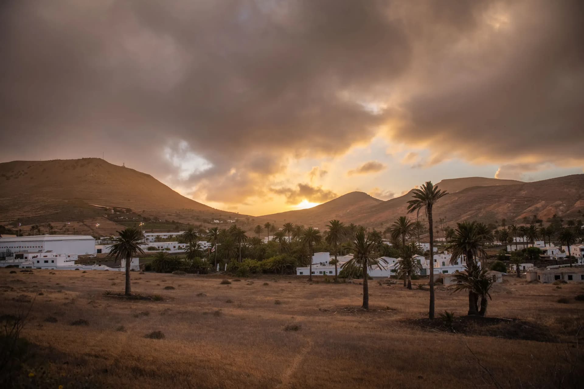
The trail then descends towards Haría, a charming village nestled in the Valley of a Thousand Palms. This part of the hike is a journey through varying terrains, encompassing volcanic hills and verdant valleys. Haría itself is a serene town, where one can appreciate the traditional Canarian architecture and the lush greenery, a rarity on the island. Nearby, the Mirador del Río provides one of the most stunning viewpoints in Lanzarote, offering spectacular panoramas of the neighboring island La Graciosa, making this hike a blend of cultural and scenic experiences.
Camino de los Gracioseros
The Camino de los Gracioseros is a trail steeped in history and natural splendor. It was traditionally used by inhabitants of La Graciosa to access Lanzarote and is known for its rugged beauty. Starting near the architectural masterpiece of Mirador del Río, designed by César Manrique, the trail descends along the dramatic Famara cliffs. This descent is an adventurous journey, with the path winding down steep slopes, offering hikers breathtaking views of the Atlantic Ocean and the Chinijo Archipelago.
The trail's ruggedness is a testament to the harsh yet beautiful natural environment of the Canary Islands. The destination, Playa del Risco, is a reward in itself. This secluded beach, with its fine white sand and turquoise waters, is an ideal spot for relaxation after the challenging descent. The pristine beach is often less crowded, providing a sense of solitude amidst nature. Nearby, the historic Salinas del Río salt flats, dating back to the 15th century, add to the trail's allure, making the Camino de los Gracioseros a perfect blend of history, culture, and natural beauty
Pico Redondo – Los Ajaches
Though not in the northern part of Lanzarote, the Pico Redondo trail in Los Ajaches Natural Monument is a must-visit for its historical and geological significance. The area, one of the oldest on the island, showcases an impressive volcanic formation that dominates the southern landscape. The trail, historically used by shepherds, is now a popular route for hikers and nature enthusiasts. It offers varied terrains, from rugged volcanic paths to softer earth, providing a diverse hiking experience.
The route also allows for an intimate encounter with Lanzarote's pastoral history, where traditional goat herding still plays a role in the island's culture. The hike starts in the quaint village of Femés, where hikers can enjoy local Canarian culture before embarking on their journey. The path offers stunning views of the Barranco de la Higuera and El Pozo Beach, painting a picture of the island's diverse landscapes. As the trail ascends to Pico de la Aceituna and Degollada de Carlos, hikers are treated to distant views of Playa Blanca and Fuerteventura. The trail's final leg through the Morro de la Lama del Pozo is a fascinating walk through time, offering glimpses of the island's geological past and present.
Corona Volcano Trail
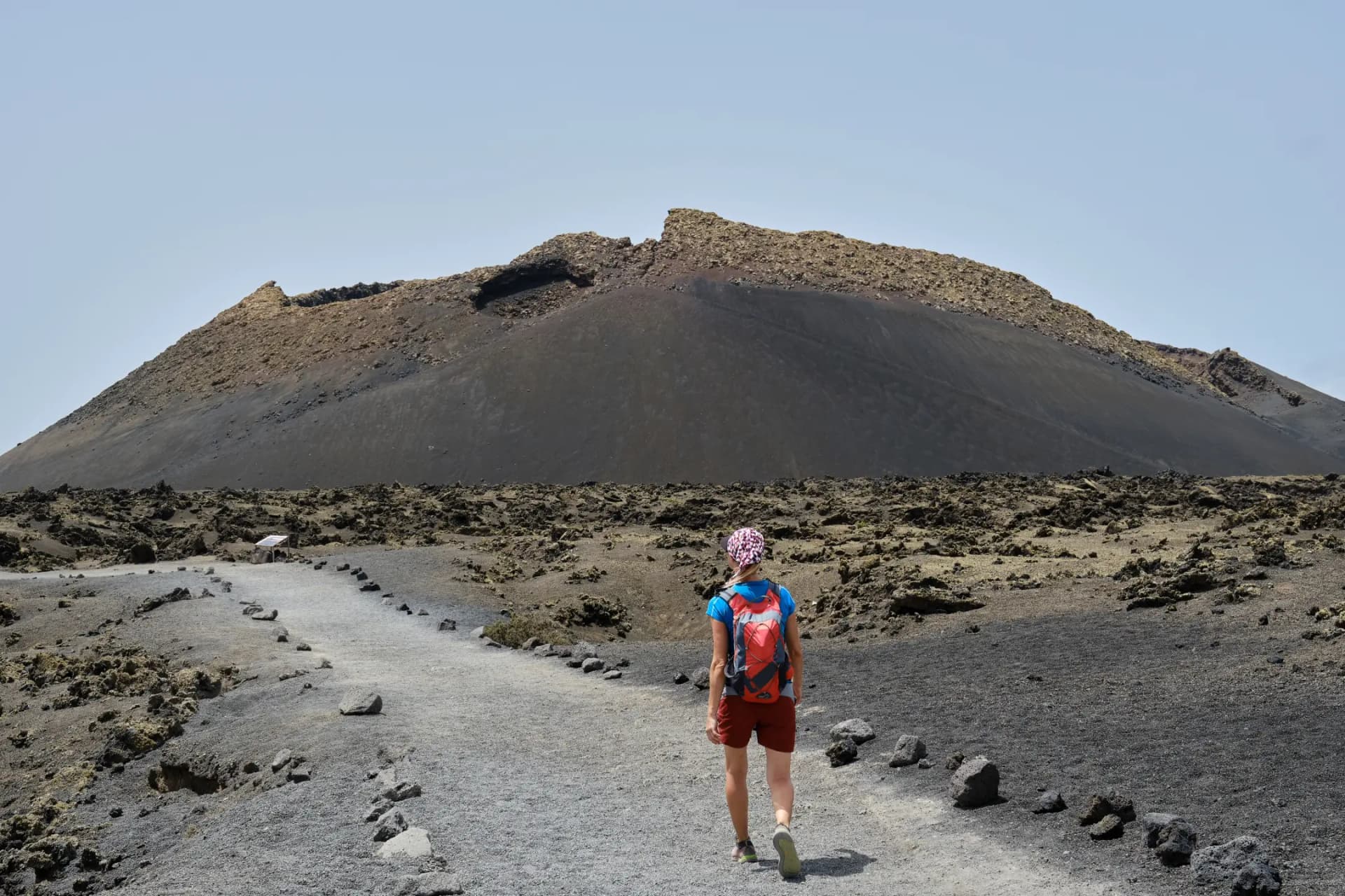
The Corona Volcano Trail is a journey to one of Lanzarote's most prominent volcanic features. The trail allows hikers to explore the unique volcanic landscapes that define the northern part of the island. As hikers ascend towards the Corona Volcano, they are greeted with stunning vistas of the surrounding terrain, characterized by lava fields and rugged volcanic formations. This trail is not just a physical journey but also an exploration of the volcanic forces that have shaped Lanzarote's landscapes over millennia.
Along the trail, hikers can witness the aftermath of volcanic activity and the resilience of nature, as sparse vegetation emerges through the lava rocks. The trail provides an opportunity to understand the geological history of the island and the natural processes that continue to shape it. The summit of the volcano offers panoramic views that are both awe-inspiring and humbling, showcasing the vastness of the natural world and the small yet significant place humans occupy within it.
Guatiza to Famara Trail
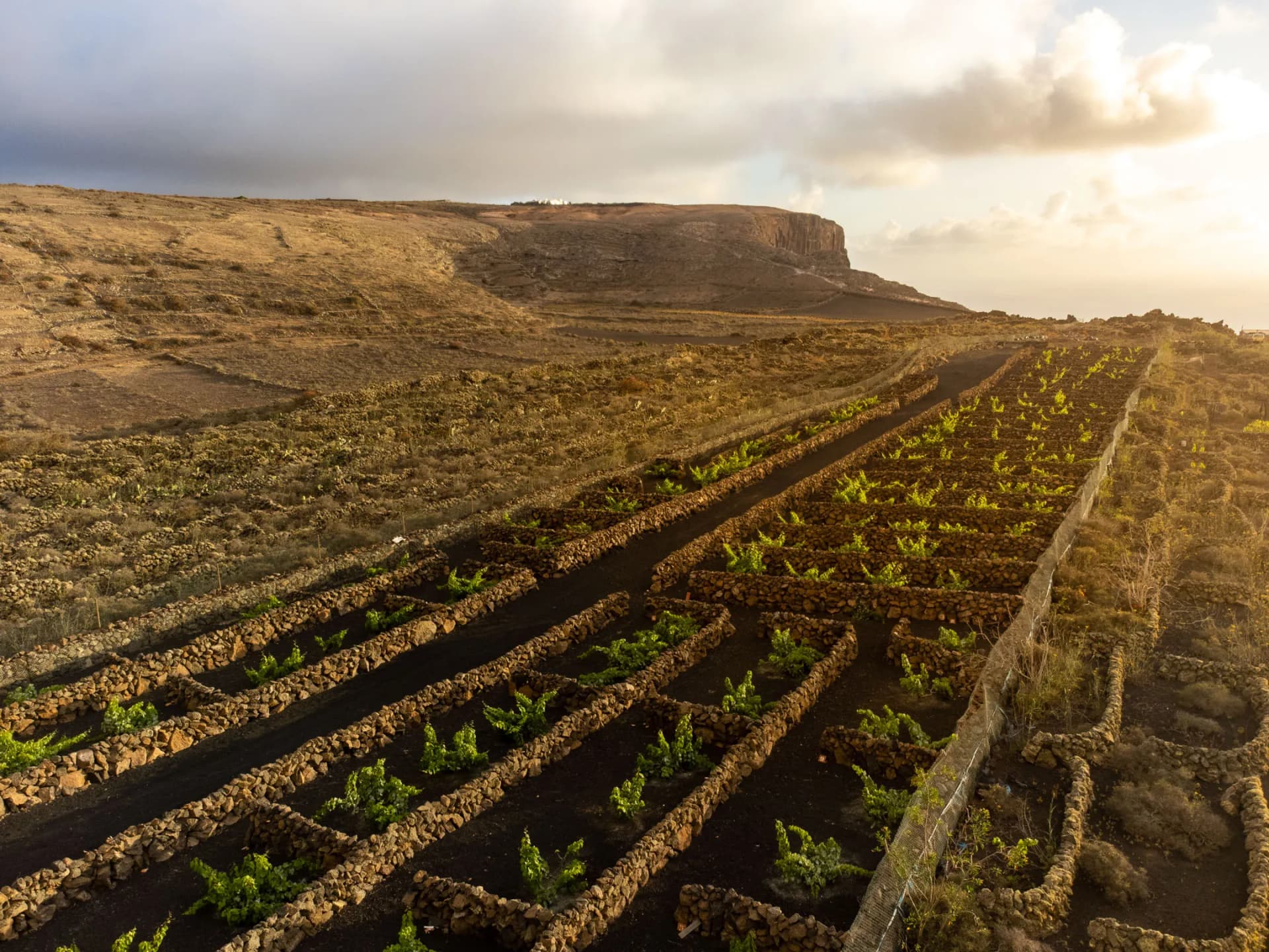
The trail from Guatiza to Famara showcases the diverse landscapes of Northern Lanzarote. The journey begins in the rural village of Guatiza, known for its cactus gardens, and leads towards the coastal town of Famara. This trail, stretching over 11 kilometers, offers a blend of inland and coastal scenery, making it a unique experience. The initial part of the hike takes you through Lanzarote's agricultural heartland, where traditional farming methods are still in use. As the trail approaches Famara, the landscape transforms dramatically, with the view opening up to the stunning Famara cliffs and beach.
Famara Beach, with its golden sand and surf-friendly waves, is a stark contrast to the rural tranquility of Guatiza. The trail is relatively flat, making it accessible for a wide range of hikers, including families. Along the way, hikers can enjoy the changing vistas – from the green fields and cactus plantations of Guatiza to the rugged cliffs and expansive ocean views near Famara. This trail embodies the essence of Lanzarote's varied landscapes, offering a comprehensive experience of the island's natural beauty